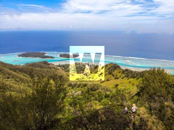
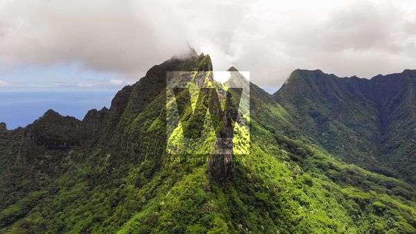
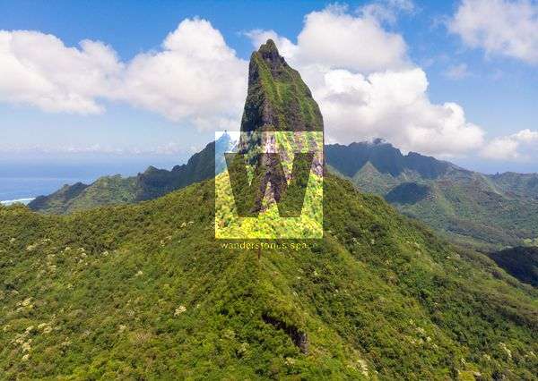
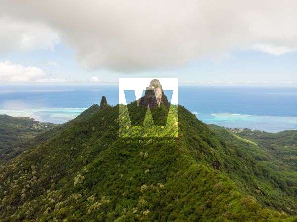
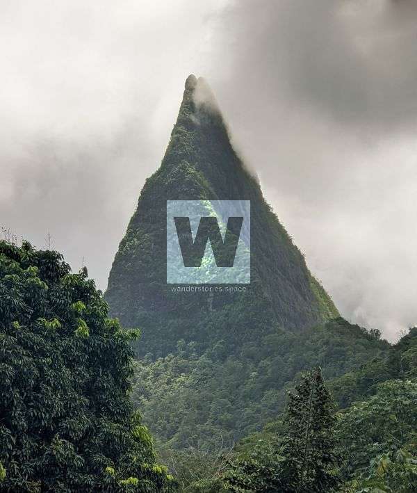
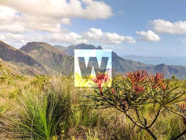
French Polynesia Pic de l'Uui (Uui Peak) This peak is located on the north west tip of the island and is known as Peak Uui (Pic de l'Uui).
French Polynesia Mount Atiati Mount Atiati (749 m), also written as Mont Atiati, is located close to the centre of the island of Mo'orea. The land around Mount Atiati is hilly and is mostly
French Polynesia Mount Mou'apū Mount Mou'apu, also written Moua Pū, is 762 m in elevation and can be recognised by its iconic archway on it's eastern ridge and it's pyramid-like shape. Mt Mou'apu archwayThe
French Polynesia Mount Mou'aroa (Shark's Tooth) Mo'orea has many iconic peaks and despite the relatively low altitude, the mountains are among the most vegetated and rugged in the world. Due to the loose soil, vegetated natures,
French Polynesia Mount Ruahiti Mount Ruahiti is a peak and is located in Mo'orea, French Polynesia and is 510 meters above sea level, or 76 meters above the surrounding terrain. It is about ~0.
French Polynesia Mount Tamartoofa Mount Tamartoofa, also written as Tamaru toofa, is at an elevation of 916 m and is the Tefeo Valley. It is currently unsummited. Much like the rest of Mo'orea, the
French Polynesia Mount Tohiea Mount Tohive'a, also spelt Tohi'e'a, Tohiea, and Tohivea, is a volcanic peak and the highest point on the island of Mo'orea in French Polynesia at 1,207 metres and is
French Polynesia Mount Mou'aputa Mount Mou'aputa (830 m) is fourth highest peak on the island of Mo'orea and is something surreal. The peak can recognised from the iconic hole near it's summit.
French Polynesia Mount Rōtui Mount Rotui (899 m) is located on the north side of the island between Opunohu and Cook's Bays. It's a strenuous hike but efforts are well-rewarded with scenic views of the island.
French Polynesia Hikes on Mo'orea Island, French Polynesia 
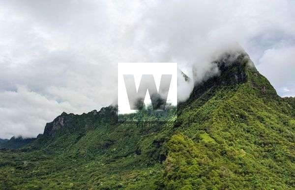
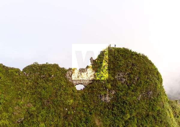
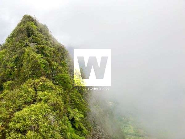
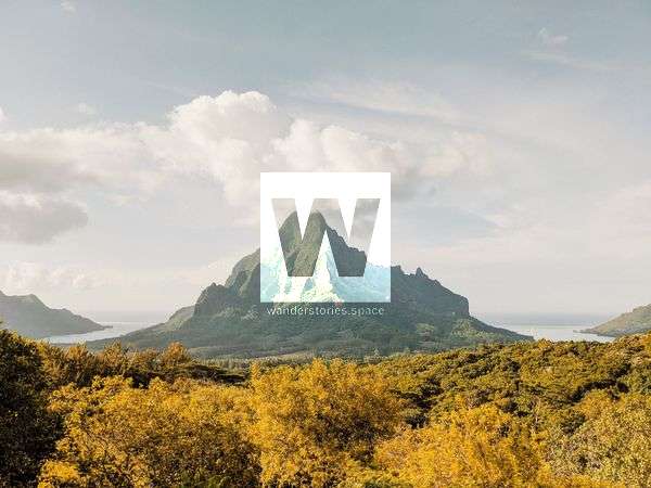
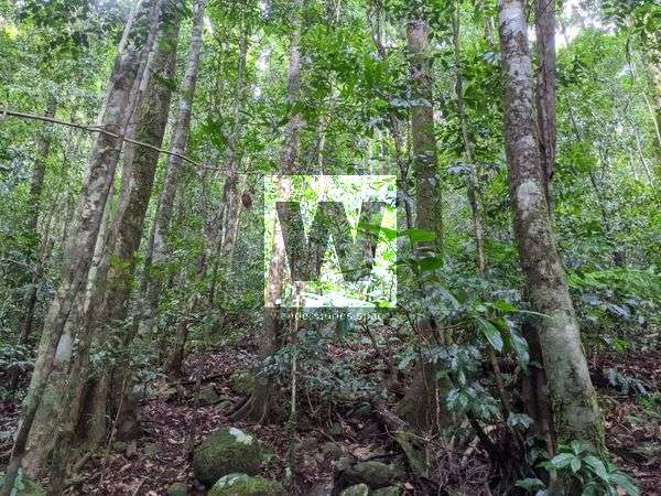
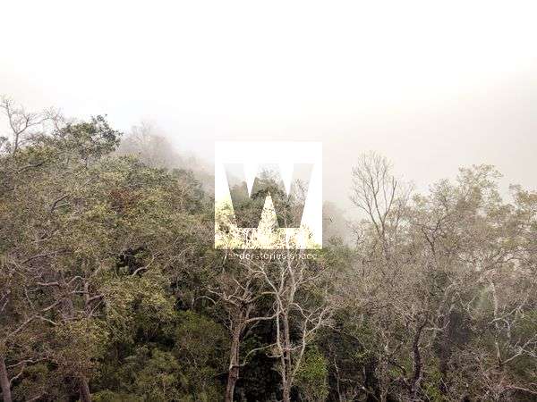
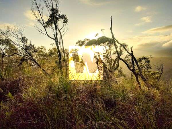
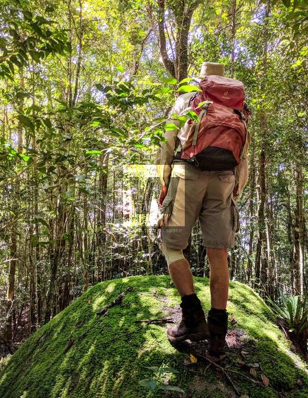
Many of the hikes on Mo'orea start in the lush Opunohu Valley where you are surrounded with unique mahogany trees, giant bamboo, and tropical flowers. In the north, Mount Rotui
Bowling Green Bay National Park Peaks of Bowling Green Bay National Park Bowling Green Bay National Park is located just south of Townsville and spans from Alligator Creek to all the way south to Giru. How many peaks are there in Bowling
Paluma Range National Park Peaks of Paluma Range National Park Paluma Range National Park is located just north of Townsville and spans from Bluewater all the way north to Ingham. This Wet Tropics World Heritage Area was established in 1994
Hinchinbrook Island National Park Mount Diamantina Mount Diamantina rises 955 metres above sea level and is located within the Hinchinbrook Island National Park in Far North Queensland. Although Mt Diamantina may be considered the easiest of the four main mountains to summit, it is also desirable by many due to its unique boulders on top.
Fiordland National Park Gertrude Saddle Route Gertrude Saddle Route is a challenging tramping route in Fiordland National Park, starting along a pleasant alpine meadow in a stunning glacial valley, then heads up steeply to the saddle with an incredible view of both valleys. Gertrude Saddle showcases a unique perspective of Milford Sound.